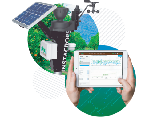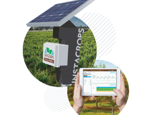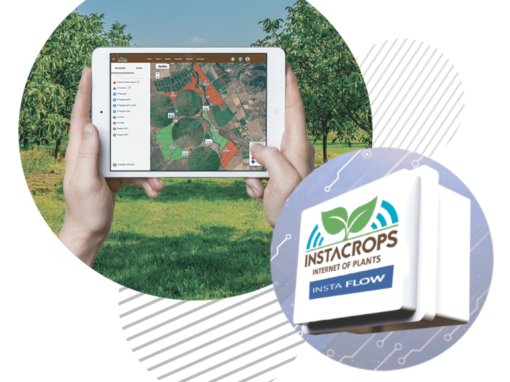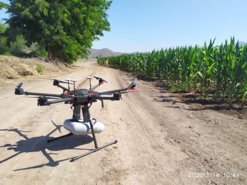
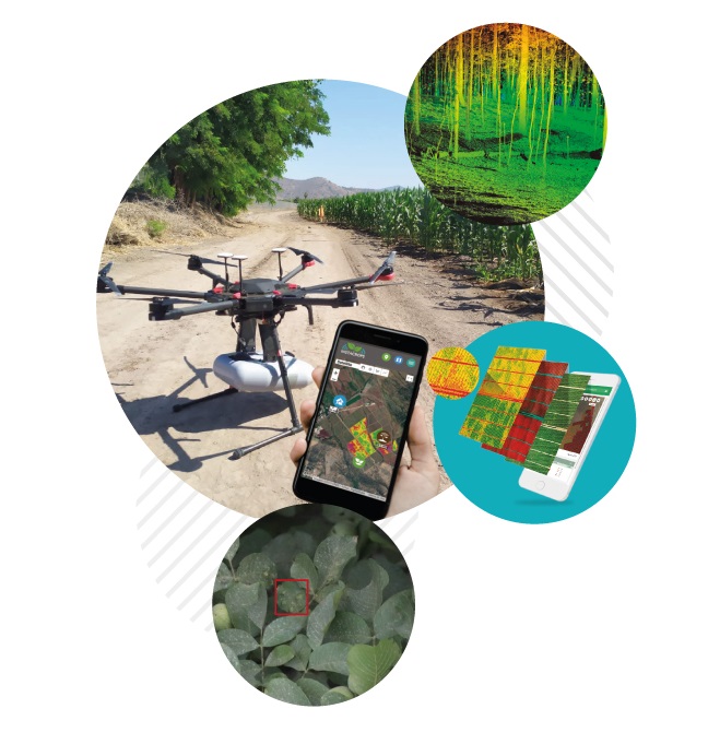
SkyCrops is a diagnostic tool that gives updated information of your crops through drones or satellite images.
What does it measure?
|
Multispectral Images |
|
NDVI: Optimal state of plant development or some stress problem caused by excess moisture deficit, weeds, pests or diseases. |
|
NDWI:Crop moisture content and water deficit stress indicator. |
|
EVI:Differences in vegetation with greater sensitivity in conditions of high biomass density. |
|
Relative chlorophyll content |
|
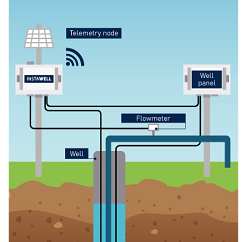
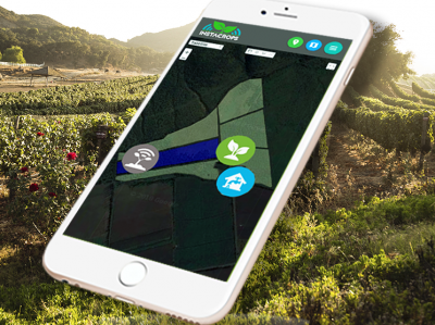
Irrigation information |
|
Optics (RGB) |
|
Plant count |
|
Orthomosaic |
Benefits
- Key parameters reports for decision making of your crop.
- Georeferenced reports with mobile application for harvest estimates and monitoring of pests and diseases.
You may also like